
THERMISIGHT DRONE
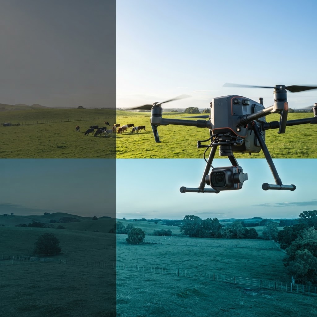
Thermal from above.Thermal eyes where the terrain says no.
Aircraft, gimbals and payload kits for inspection, public safety and mapping — radiometric sensors, dock-ready flight, and NDAA status flagged on every listing.


Featured aircraft & payloads
Aircraft and thermal payload kits our aerial operators fly first.
 China
- Detector
- 640×512
- Range
- 437 yd
- NETD
- 25 mK
- Flight time
- 42 min
- Zoom
- 16× hybrid
- Frame rate
- —
or $1,292/mo · 0% APR
China- Detector
- 384×288
- Range
- ≈490 yd
- NETD
- 50 mK
- Flight time
- 54 min
- Zoom
- Detect and identify targets using thermal and zoom imaging
- Frame rate
- —
or $912/mo · 0% APR
China- Detector
- 1280×1024
- Range
- ≈490 yd
- NETD
- 50 mK
- Flight time
- 49 min
- Zoom
- —
- Frame rate
- 30 Hz
or $665/mo · 0% APR
China- Detector
- 384×288
- Range
- —
- NETD
- —
- Flight time
- 45 min
- Zoom
- 35×
- Frame rate
- —
or $1,607/mo · 0% APR
Explore by Use Case
Agriculture & crop scouting
Multispectral thermal payloads for crop health, irrigation, and yield optimization.
Public safety & search
High-resolution thermal with real-time streaming for search and rescue operations.
Infrastructure inspection
Gimbal-stabilized payloads for power lines, bridges, and solar panel inspection.
Aerial surveying & mapping
Thermal fusion cameras for large-area thermal mapping and 3D modeling.
FREQUENTLY ASKED
What thermal drone payload is best for agriculture?+
A gimbal-stabilized dual-camera payload (4K visible plus thermal) with radiometric capture is ideal for crop scouting, irrigation analysis, and plant-health assessment. Check compatibility with your airframe (DJI, Autel, Freefly, Inspired Flight) and that the payload streams live video.
Can drone thermal cameras be used for search and rescue?+
Yes. Thermal drone payloads are widely used by public-safety agencies for night search operations, missing-person recovery, and wildfire hotspot detection. Real-time streaming and a wide thermal field of view are key for covering large areas quickly.
Which thermal payloads are NDAA-compliant for federal use?+
Some do. Payloads built outside the covered Chinese supply chain can meet NDAA Section 889 requirements, and every listing states its NDAA status on the product page. If you are buying for a federal or federally funded program, tell us the platform and mission and we will confirm the status of the exact payload and airframe combination before you order.
Do drone thermal cameras support real-time streaming?+
Most public-safety and inspection payloads support real-time HDMI or app-based streaming. For live streaming to a command center, look for payloads with RTMP or network streaming built in.
Explore beyond Drone
Same account, same veteran-owned team — each division ships gear built for its own mission.

Cookies on this site
Essential cookies keep your cart and sign-in working — they always run. With your permission we also use Google Analytics to see which products and pages people use, and advertising cookies to measure our own ads. You can accept everything, decline the optional cookies, or choose category by category. Read more in our Cookie Policy.